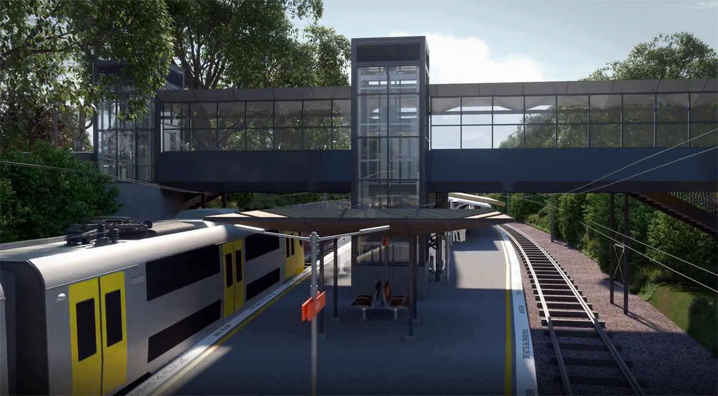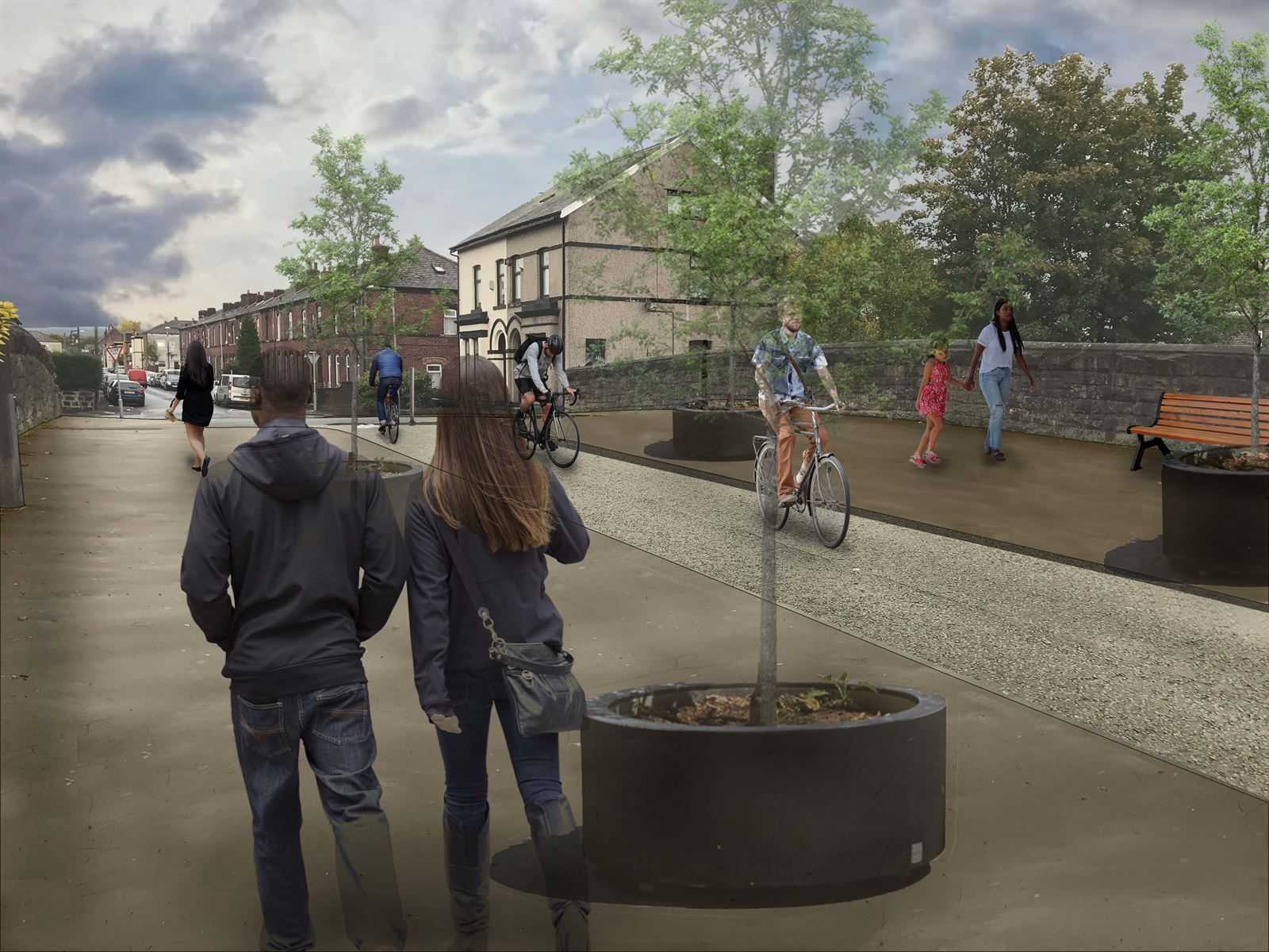
PlanEngageTM, an online reporting and consultation platform, creates a virtual environment where organizations can provide transparency about construction projects.
As digital solutions increase the complexity and sustainability of designs, information needs to be communicated from design into construction and then throughout the operations and maintenance of that infrastructure.
Visual and interactive updates
The PlanEngage platform allows design and construction information to be presented online in an easily accessible way, giving regular updates on the construction process. It integrates with existing solutions such as HoloBuilder to provide live construction images, and can contain a full range of interactive imagery, visualizations and virtual reality content which brings construction projects to life.
Update on construction progress with information and data
Community engagement becomes straightforward with PlanEngage. It is built around easy-to-use content development tools and integrates with interactive PowerBI dashboards, providing the ability to communicate key project messages quickly and easily to everyone involved in a project. Impacts of construction on members of the local area can be quickly updated and changed throughout a project – providing a quick and simple way to keep key project participants informed throughout all parts of a project’s construction phase.
Interactive geographic interface
PlanEngage is a highly-visual communication platform, containing an interactive GIS interface which allows geolocated information to be used as the basis for navigating around project content. Layers and viewpoints can be customized to showcase the most important and relevant information for viewers. The further opportunity to integrate BIM and other 3D models in a geolocation also provides the opportunity to better understand a construction project in its geolocation.
Create environmental, scoping, PEI, ES, NTS, baseline and technical reports, Environmental Impact Statements (EIS), Environmental Impact Assessments (EIA) and site assessment and remediation reporting.
Ensure community buy-in for projects with enhanced public involvement and consultation processes. Engage with project stakeholders including regulators, state and federal agencies, clients and contractors.
Report on long-term monitoring of sites with interactive dashboards and one central monitoring location. Link field data, compile, analyze and create reporting tasks.


