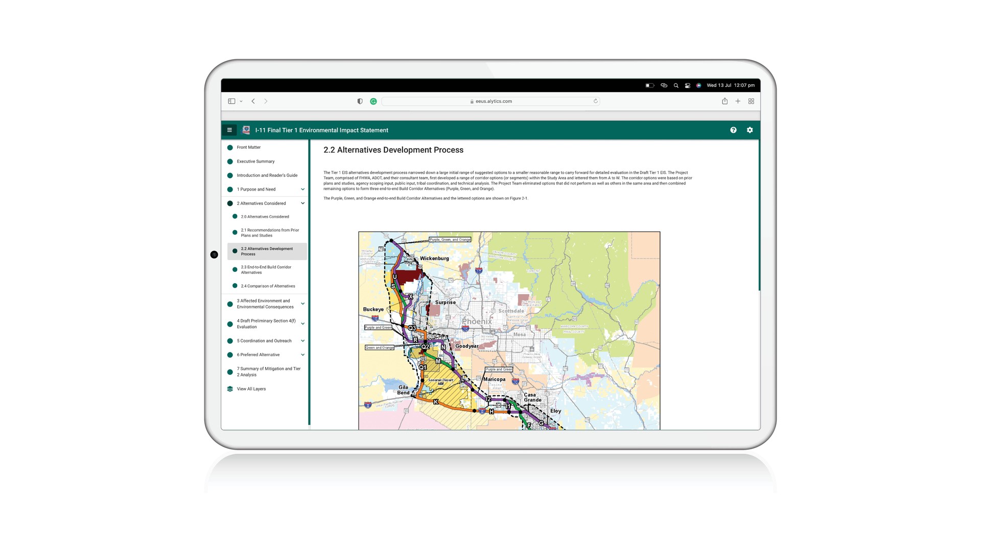
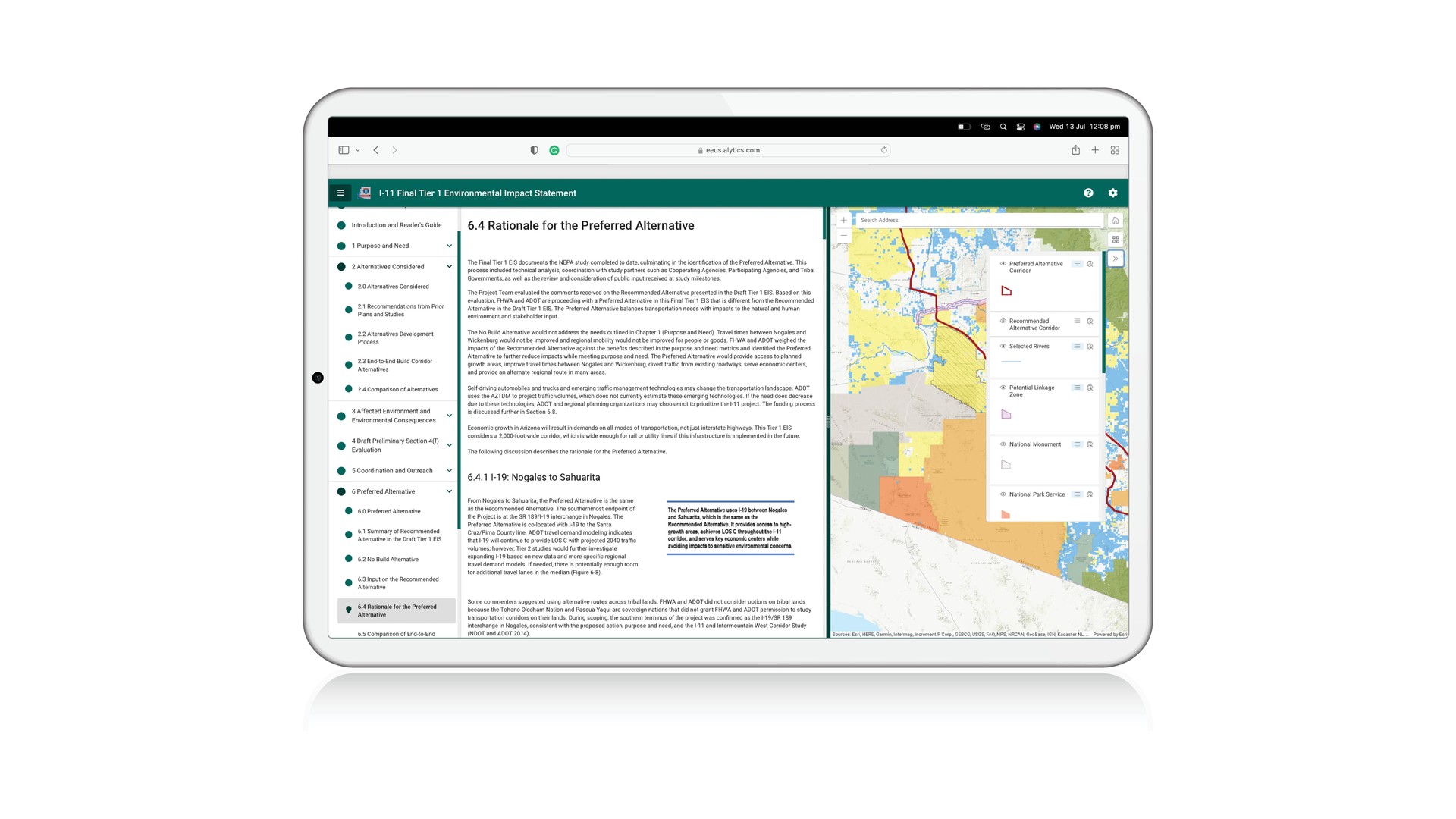
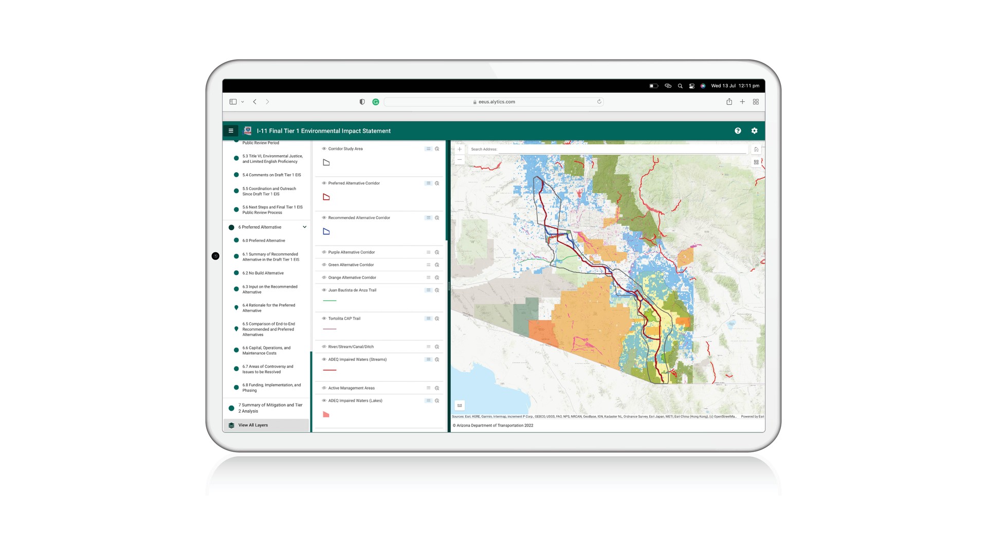
The PlanEngage platform helped the Arizona's Department of Transportation (ADOT) to broaden its reach and better its communication about road upgrade plans. The ADOT regularly undertakes environmental reviews for large transportation projects across Arizona.
Rather than just producing their usual PDF output for the Interstate 11 (I-11) project Tier 1 Environmental Impact Statement (EIS), they also used the PlanEngage platform to produce a digital and interactive online format that proved a game-changer for accessibility, providing easy access for community members and stakeholders from any location and at any time. Community members could really understand how this project would impact them, with personalization features like interactive maps where users could zoom in and out, switch on and off layers and change views as they read the information that was relevant to them.
The interactive EIS was a first for the Arizona Department of Transportation (ADOT) and the State of Arizona, and it was a huge accomplishment for the I-11 study team.
It allowed ADOT and FHWA to explore an alternative method for virtual public involvement while providing tools such as shapefiles and map layers to help the public and agencies fully understand the Final Tier 1 Environmental Impact Statement document.
Steven Olmstead, ADOT Program Delivery Manager


