Insight
Bringing the planning process to life with GIS data and PlanEngage
PlanEngage is a vital tool for any planning authority or regulator to communicate honestly and openly with affected communities. This accessible and transparent community engagement website allows people in the community to ask questions and make comments on every aspect of the proposal, in an easy-to-use web-based interface that works on any connected device.
Concerned citizens can look at a map, see what’s been proposed, and comment on any given location, on any given information layer. Because PlanEngageTM is capable of true transparency with the public – and displays complex information in easy-to-understand ways – planning authorities can show the public how much thought has gone into any given project and demonstrate how concerns are being addressed and mitigated. Concerned citizens now have a significant amount of oversight into the decisions that are being made on major projects, which will ultimately help projects to go through the approvals process much quicker and with greater community engagement.
Bringing the planning process to life with GIS data and PlanEngage
In the planning of any major infrastructure project, it’s essential to communicate honestly and openly with communities about how they might be affected. Unfortunately, this legal and moral obligation is often quite tricky to fulfil, especially as traditional public consultations are largely paper-based and in-person. It’s often difficult to know whether those who need to be engaged with actually have been. PlanEngage, a software-as-a-service (SaaS) platform developed by Digital AECOM, changes this dramatically.
Bringing major infrastructure plans into context
PlanEngage streamlines the creation of technical planning documents, but it has also been designed to convert them seamlessly into an online community engagement website. This makes it easy for any member of the community to view the proposals and make comments. And because PlanEngage embeds sophisticated web-mapping capabilities, members of the public can look specifically at their physical location – or their place of work or play – and see how their neighbourhood or home will be affected.
Seeing the full picture
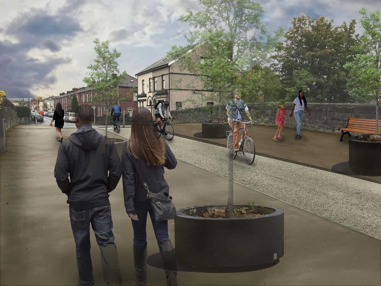
PlanEngage displays complex multi-layer GIS data in a standard web-browser, along with a full range of rich supporting media, including videos, 3D visualisations and before-and-after images. This means that a concerned citizen only needs to open a website and look at a map to explore what’s been proposed at that location. They can then comment on it if they want, on any number of information layers.
True transparency
Because PlanEngage enables true transparency with the public – and displays complex information in easy-to-understand ways – planning authorities can show the public how much thought has gone into any given project. They can also show how concerns are being addressed and mitigated. This means that citizens and communities now have a significant amount of oversight into the decisions that are being made on major projects, which will ultimately help projects to go through the approvals process much quicker and with greater community engagement.


