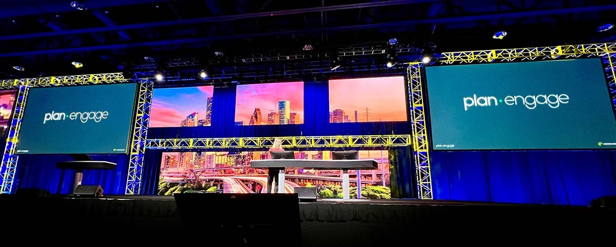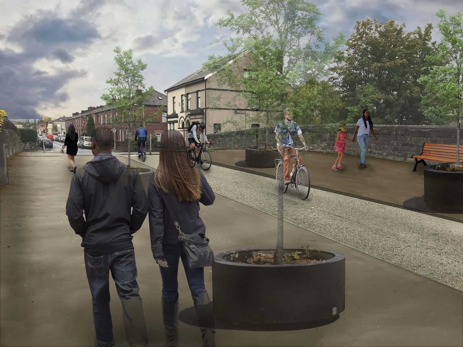
PlanEngage brings geospatial data to life through interactive maps and other features, making community engagement for infrastructure projects more accessible and more meaningful. By bringing together technology, geographic information, and local community feedback into design we’re driving more equitable and sustainable project outcomes that leave sustainable legacies for generations to come.
More content you might like


