Family walking in Uttlesford countryside

Case study

A UK council leads the world in the digitization of the local plan-making process.

Project: The local plan for Uttelsford
Client: Uttlesford District Council

The new Local Plan for Uttlesford provides a vision and framework for addressing the housing, economic and infrastructure needs of the district for years to come.

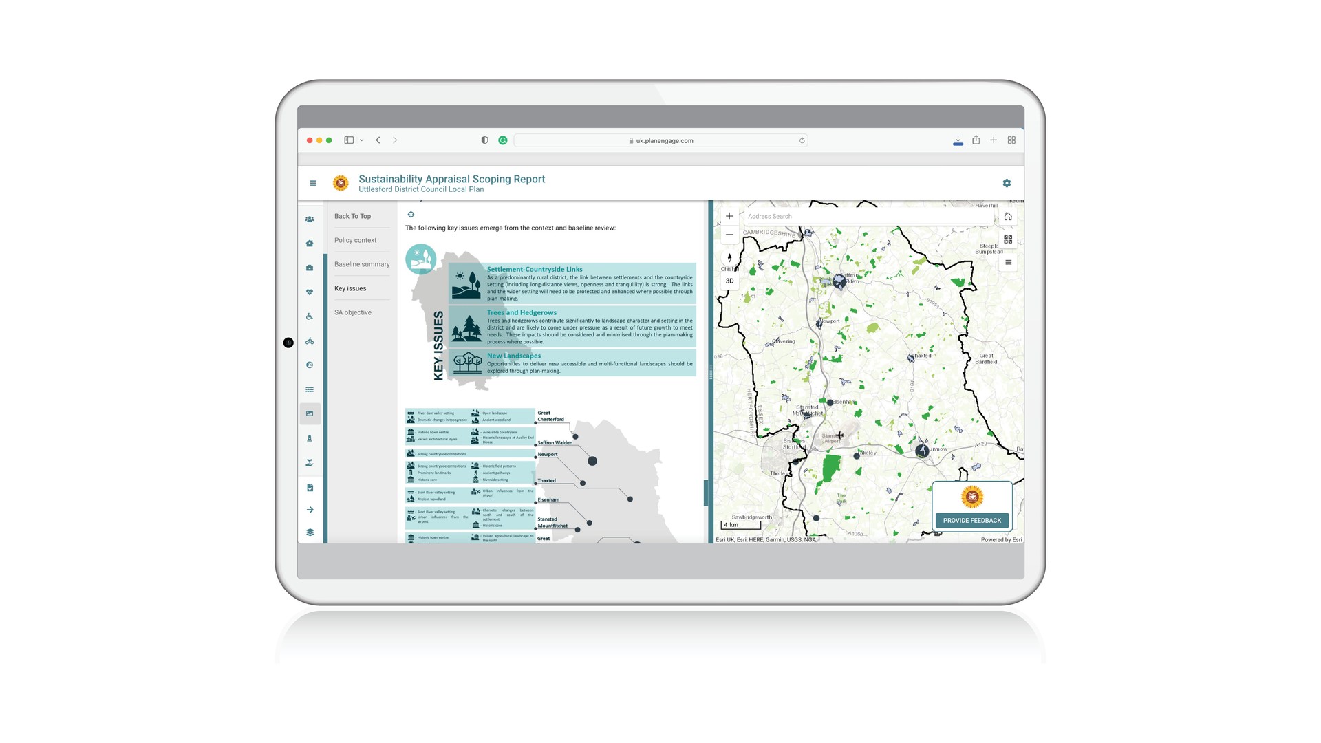
The Local Plan Digital Sustainability Appraisal Scoping Report site uses PlanEngage’s interactive mapping to great effect. Each of the appraisal’s themes are presented in turn, with all supporting evidence presented as Geographic Information Systems (GIS) maps. As the user moves through each appraisal theme chapter, the map responds to show the detailed considerations at each of the local settlements within the district.

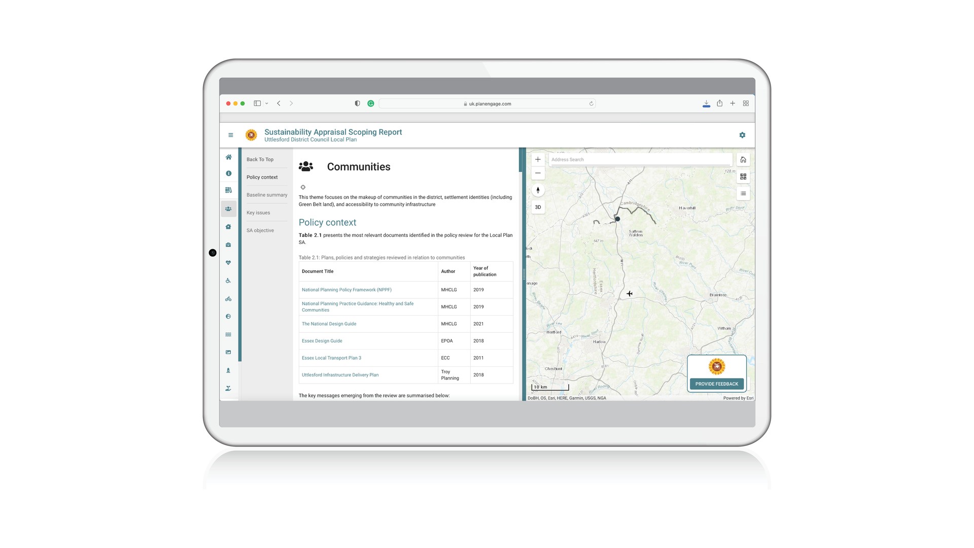
A world first: no other local plan document has been digitised in this way, using cutting-edge digital engagement technology to make information more accessible, more transparent, and easier to understand.
The interactive maps on the right-hand side of the page adjust in alignment with the information shown on the left-hand side, giving instant access to the relevant viewpoints.
Users can interact with the maps to delve more deeply into their particular points of interest.
More content you might like